by Wessel Wessels | Jul 27, 2020 | General
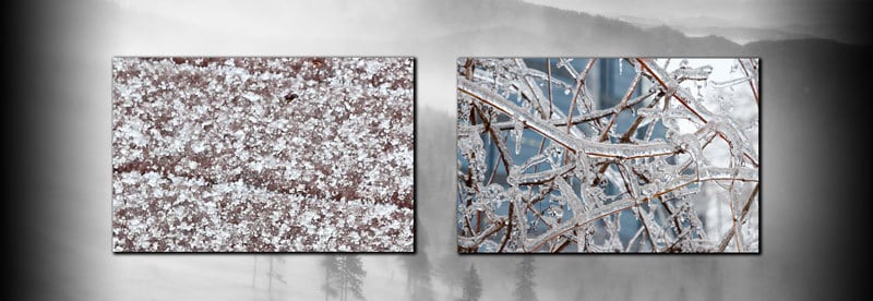
Freezing Rain vs Sleet - Understanding The Differences Between The Two Freezing Rain vs Sleet - Understanding The Differences Between The Two They are both forms of water that end up in their solid state when they are forced to cool down rapidly. However, there are a...
by Wessel Wessels | Jul 22, 2020 | General
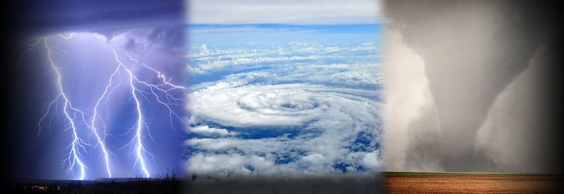
The Most Dangerous Weather Conditions On Earth - What They Are And What Makes Them So Deadly The Most Dangerous Weather Conditions On Earth – What They Are And What Makes Them So Deadly Many severe weather events can rightfully claim the title “deadliest weather...
by Wessel Wessels | Jul 18, 2020 | General
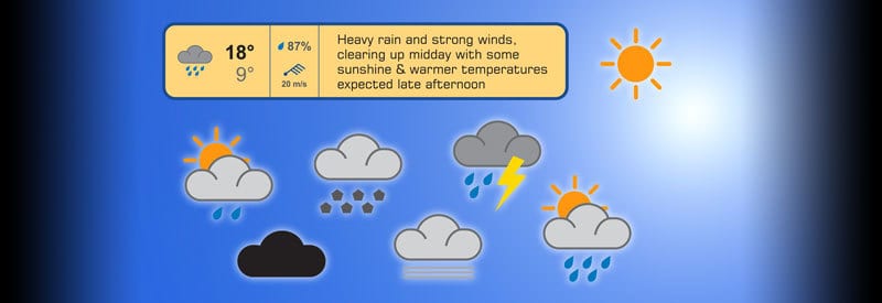
Understanding Weather Symbols Used In Forecasts To Know What To Expect From Future Atmospheric Conditions Understanding Weather Symbols Used In Forecasts To Know What To Expect From Future Atmospheric Conditions Many readers will be familiar with the symbols used in...
by Wessel Wessels | Jul 3, 2020 | General
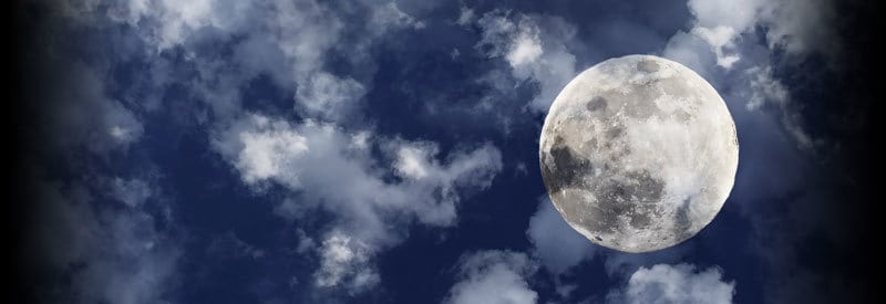
How The Moon Affects Our Weather And Climate How The Moon Affects Our Weather And Climate It may be hard to imagine that the Moon, approximately 380 000 km (236 000 miles) away, can have any influence on the weather on our planet. However, it plays a more significant...
by Wessel Wessels | Jun 22, 2020 | General
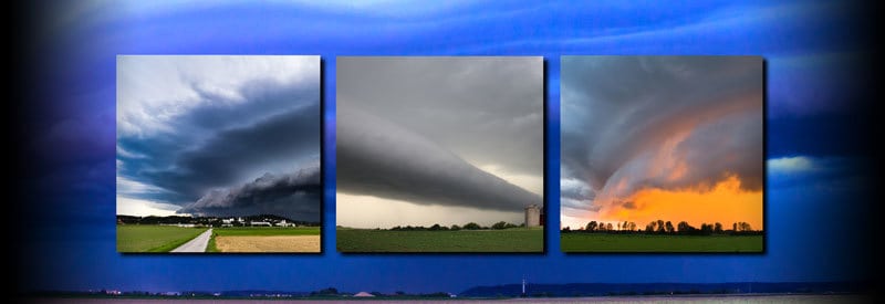
Defining Arcus Clouds – What They Are And How They Are Formed Defining Arcus Clouds – What They Are And How They Are Formed Certain cloud types appear to have very distinct shapes and sizes. Arcus clouds are one such example, but these cloud formations may also be an...
by Wessel Wessels | Jun 8, 2020 | General
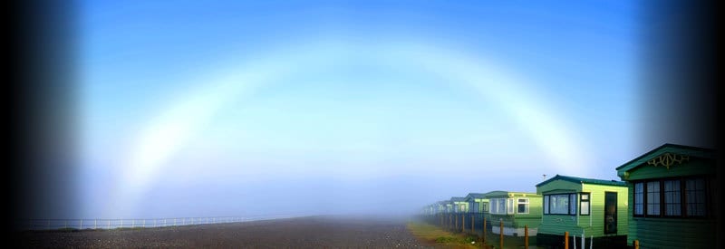
Defining A Fogbow – The Rainbow’s Less Glamorous Cousin Defining A Fogbow – The Rainbow’s Less Glamorous Cousin Anyone who observes a fogbow could easily mistake it for a strange, colorless rainbow. Although not entirely incorrect, this meteorological phenomenon...