by Wessel Wessels | Jan 5, 2021 | General
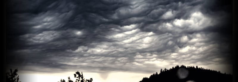
Defining Mammatus Clouds – What They Are And How They Form Defining Mammatus Clouds – What They Are And How They Form Many cloud formations manage to put on a striking visual display. Mammatus clouds, on the other hand, look very ominous and threatening. This article...
by Wessel Wessels | Dec 14, 2020 | General
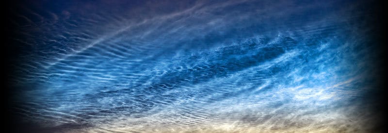
Noctilucent Clouds - Defining Night Shining Clouds And How They Form Noctilucent Clouds - Defining Night Shining Clouds And How They Form Certain cloud formations produce some of the most awe-inspiring and spectacular displays in nature. One such meteorological...
by Wessel Wessels | Dec 3, 2020 | General
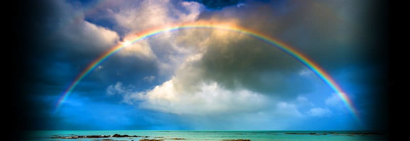
The Rainbow – Explaining One Of Nature’s Most Spectacular Displays The Rainbow – Explaining One Of Nature’s Most Spectacular Displays Most readers will find it very hard to imagine wildfires occurring in regions in the Arctic Circle. However, this is precisely what...
by Wessel Wessels | Nov 25, 2020 | General
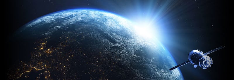
Facts About The Exosphere - Earth's Outermost Atmospheric Layer Facts About The Exosphere - Earth's Outermost Atmospheric Layer The Earth’s atmosphere consists of five distinct layers, each with its own unique features. In this article, we take a closer look at what...
by Wessel Wessels | Nov 15, 2020 | General
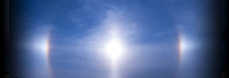
Defining A Sundog Or Parhelion And How It Occurs Defining A Sundog Or Parhelion And How It Occurs On rare occasions, while looking at the horizon during sunset or sunrise, one may observe what seems like “multiple suns” spaced parallel to each other. We take a closer...
by Wessel Wessels | Nov 9, 2020 | General
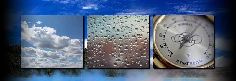
Humidity – What It Is, How It Forms, and How It Behaves Humidity – What It Is, How It Forms, and How It Behaves Meteorologists and weather enthusiasts are well aware of the critical role humidity plays in the creation of different meteorological events. But what is...