by Wessel Wessels | Jul 20, 2019 | General
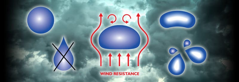
The Real Shape Of A Raindrop Explained – And How It Changes As It Falls The Real Shape Of A Raindrop Explained – And How It Changes As It Falls Many readers will argue that a typical raindrop is undeniably shaped like a teardrop. However, this is a long-held...
by Wessel Wessels | Jul 12, 2019 | General
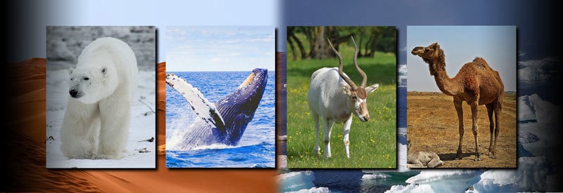
How Animals Survive Extreme Heat and Cold Weather Conditions in the Wild How Animals Survive Extreme Heat and Cold Weather Conditions in the Wild Human beings are not naturally well-equipped to cope with very hot or very cold weather conditions. Wild animals, though,...
by Wessel Wessels | Jul 6, 2019 | General
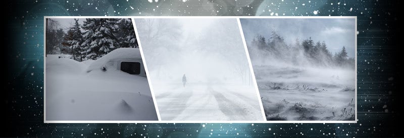
Defining A Blizzard – What It Is, How It Occurs, And The Dangers Associated With It Defining A Blizzard – What It Is, How It Occurs, And The Dangers Associated With It The term “Blizzard” is often loosely used to describe cold, stormy weather. However, an...
by Wessel Wessels | Jul 2, 2019 | General
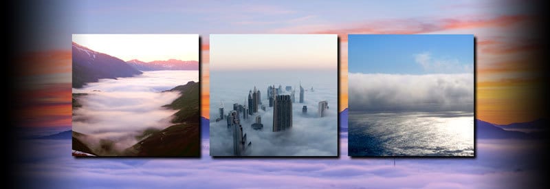
Defining Fog And Mist - And How They Differ From Each Other Defining Fog And Mist - And How They Differ From Each Other Most readers will be either very familiar with or have even personally experienced fog or mist in some shape or form at some point. Although they...
by Wessel Wessels | Jun 27, 2019 | General
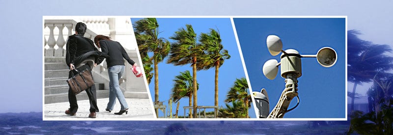
Defining Wind - What It Is And Its Impact On Local And Global Weather Defining Wind - What It Is And Its Impact On Local And Global Weather One meteorological phenomenon every reader will be familiar with is what is commonly known as wind. We examine what exactly this...
by Wessel Wessels | Jun 24, 2019 | General
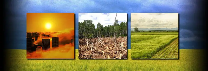
The Effects Of Human Activities On Local Climate And Weather The Effects Of Human Activities On Local Climate And Weather Most readers will be well aware of the dangers of global warming and the role humans play in it. Sometimes, though, large-scale human activities...