by Wessel Wessels | Aug 16, 2019 | General
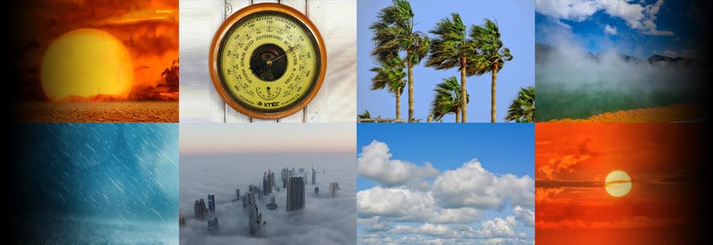
The Elements Of Weather And Climate – And The Instruments Used To Measure Them The Elements Of Weather And Climate – And The Instruments Used To Measure Them We experience them every day and, over time, start to associate them with different weather conditions. In...
by Wessel Wessels | Aug 13, 2019 | General
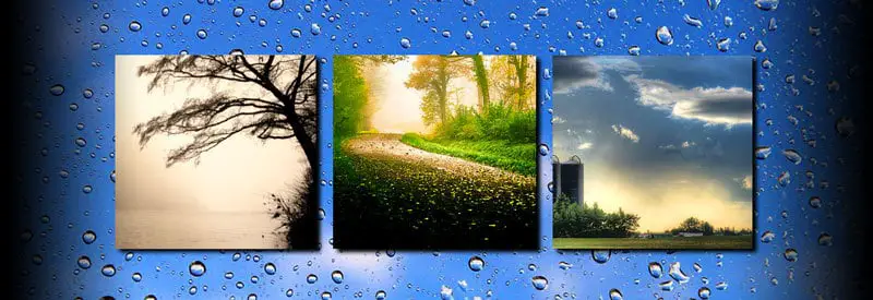
Sunshowers – Explaining Rainfall On A “Cloudless” Day Sunshowers – Explaining Rainfall On A “Cloudless” Day Rain is typically associated with visible cloud cover. Occasionally, though, rain can fall from a seemingly cloudless sky. This phenomenon is known as a...
by Wessel Wessels | Aug 10, 2019 | General
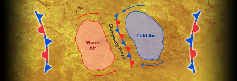
Stationary Fronts - What They Are And The Type Of Weather Associated With Them Stationary Fronts – What They Are And The Type Of Weather Associated With Them Regular viewers of weather forecasts will be very familiar with cold and warm fronts. A lesser-known frontal...
by Wessel Wessels | Aug 7, 2019 | General
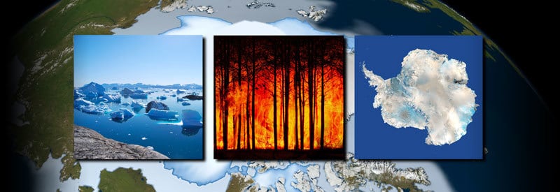
Arctic Regions Are Literally Burning And Melting Away – What This Means For Rising Sea Levels Arctic Regions Are Literally Burning And Melting Away – What This Means For Rising Sea Levels Most readers will find it very hard to imagine wildfires occurring in regions in...
by Wessel Wessels | Jul 31, 2019 | General
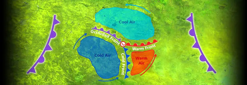
Occluded Fronts – What They Are And How They Occur Occluded Fronts – What They Are And How They Occur Frequent viewers of weather forecasts will be familiar with “cold and warm fronts” and their impact on weather events. Few, though, are aware of a...
by Wessel Wessels | Jul 27, 2019 | General
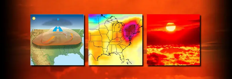
Heat Waves – What They Are And How They Occur Heat Waves – What They Are And How They Occur Over the last two centuries, global air temperatures have started to show an alarming increase in average and record highs. This also led to an increase in meteorological...