by Wessel Wessels | May 16, 2020 | General
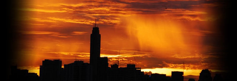
Virga Rain - Precipitation That Never Reaches The Ground Virga Rain - Precipitation That Never Reaches The Ground Some may not have heard the term before, yet most readers have likely already experienced or observed the meteorological phenomenon known as virga rain....
by Wessel Wessels | May 11, 2020 | General
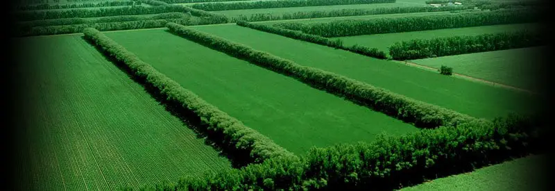
Defining A Shelterbelt And How It Works Defining A Shelterbelt And How It Works Air movement plays a crucial role in the development of most weather conditions. At ground level, though, strong winds can adversely affect surface conditions. Shelterbelts help to limit...
by Wessel Wessels | May 2, 2020 | General
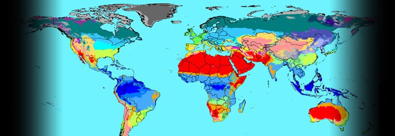
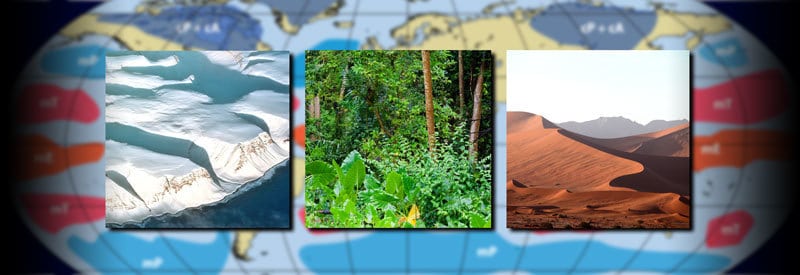
The Köppen Climate Classification - Defining The Climate Zones Of The World The Köppen Climate Classification - Defining The Climate Zones Of The World A region’s vegetation primarily results from local, prevailing weather conditions, while the vegetation...
by Wessel Wessels | Apr 22, 2020 | General
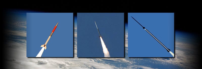
Weather Rockets - Defining A Special Kind Of Sounding Rocket Weather Rockets - Defining A Special Kind Of Sounding Rocket Weather services primarily take atmospheric measurements in the troposphere, while weather balloons extend readings up to 40 km in the...
by Wessel Wessels | Apr 14, 2020 | General
Continental Arctic To Maritime Equatorial… The Six Types Of Global Air Masses And Their Characteristics Continental Arctic To Maritime Equatorial… The Six Types Of Global Air Masses And Their Characteristics Six types of global air masses cover the Earth’s...
by Wessel Wessels | Apr 5, 2020 | General
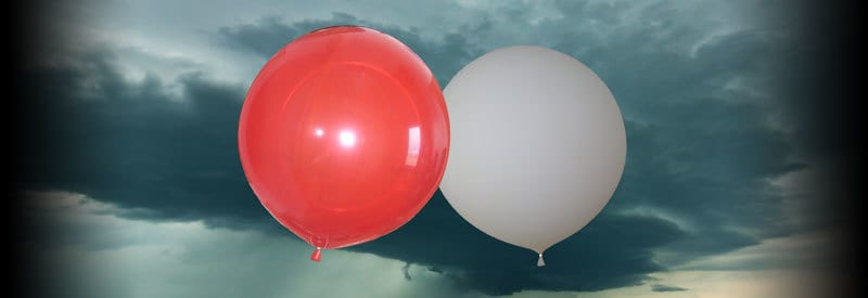
Defining Pilot Balloons - What They Are And Their Use In Meteorology Defining Pilot Balloons - What They Are And Their Use In Meteorology When thinking of meteorological equipment, one usually imagines sophisticated, hi-tech instruments. Surprisingly, simple...