by Wessel Wessels | Feb 14, 2020 | General
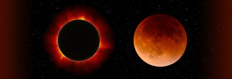
Solar And Lunar Eclipses - What They Are And How They Differ Solar And Lunar Eclipses - What They Are And How They Differ A solar eclipse is one of the most well-known and anticipated celestial events ever observed worldwide for centuries. We take a closer look at...
by Wessel Wessels | Feb 1, 2020 | General
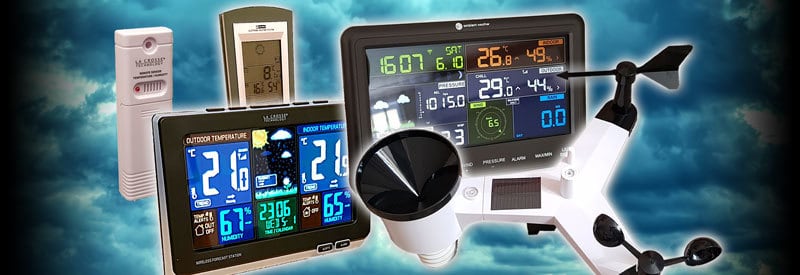
Home Weather Stations - What They Are And The Numerous Benefits Of Owning One Home Weather Stations - What They Are And The Numerous Benefits Of Owning One Numerous readers worldwide, including a large number of small to medium businesses, already own a home or...
by Wessel Wessels | Jan 25, 2020 | General
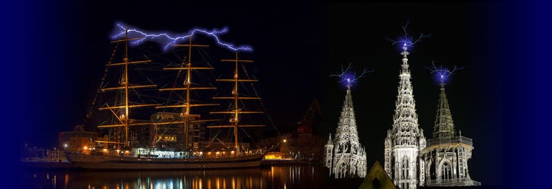
St Elmo’s Fire – What It Is And How It Occurs St Elmo’s Fire – What It Is And How It Occurs On rare occasions, if the conditions are just right, an event characterized by strange blue “flames or lights” can be seen on tall structures like towers or ship...
by Wessel Wessels | Jan 22, 2020 | General
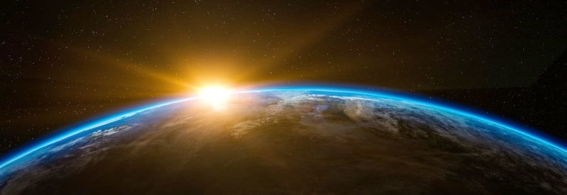
Atmospheric Absorption – What It Is And How It Shields Earth From Solar Radiation Atmospheric Absorption – What It Is And How It Shields Earth From Solar Radiation Earth gets bombarded with large amounts of solar radiation on a daily basis. Although it is crucial for...
by Wessel Wessels | Jan 19, 2020 | General
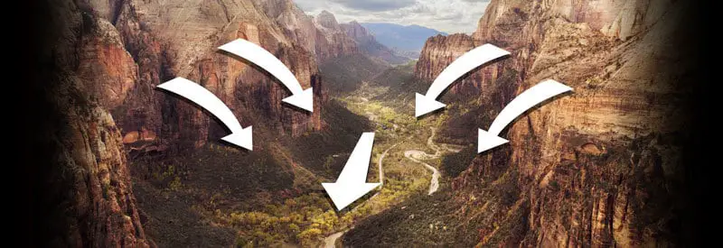
Canyon Winds - What They Are And How They Occur Canyon Winds – What They Are And How They Occur Winds primarily form due to air pressure changes over distance and the pressure gradient. However, topographical changes on the surface of the planet can also create...
by Wessel Wessels | Jan 12, 2020 | General
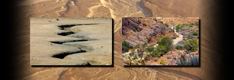
Defining Ephemeral Streams - What They Are And How They Occur Defining Ephemeral Streams - What They Are And How They Occur All inland waterways, regardless of size, play a crucial role in providing a water supply to nature and humans while replenishing larger bodies...