by Wessel Wessels | Sep 30, 2019 | General
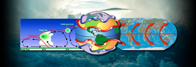
Jet Streams - What They Are And Their Impact On Weather Patterns Jet Streams - What They Are And Their Impact On Weather Patterns Surface winds caused by temperature gradients and topographical changes are well-known weather phenomena, but the impactful...
by Wessel Wessels | Sep 26, 2019 | General
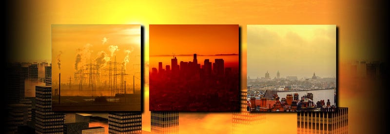
Smog – Defining The Silent Threat in Urban Environments Smog – Defining The Silent Threat in Urban Environments Besides its brown or yellowish tint, smog can appear very similar and sometimes be mistaken for fog or mist. Unfortunately, it is a very different and...
by Wessel Wessels | Sep 21, 2019 | General
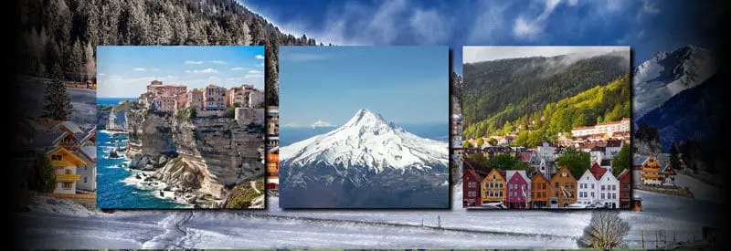
How Altitude Affects Weather And Climate How Altitude Affects Weather And Climate When living at or near the coast and traveling inland to regions located at higher altitudes, one quickly realizes that atmospheric conditions change significantly for some reason. The...
by Wessel Wessels | Sep 17, 2019 | General
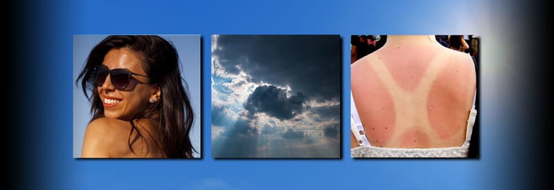
Solar Radiation’s Impact On Human Health – The Sun’s Ability To Cause Sunburn Under Different Conditions Solar Radiation’s Impact On Human Health – The Sun’s Ability To Cause Sunburn Under Different Conditions In many cultures, individuals used to prefer an appealing...
by Wessel Wessels | Sep 14, 2019 | General
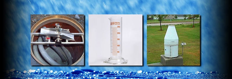
Rain Gauges – What They Are, How They Work, And The Different Types Rain Gauges – What They Are, How They Work, And The Different Types Rainfall measurement is a practice that communities have been following for centuries throughout the world. The device used for...
by Wessel Wessels | Sep 9, 2019 | General
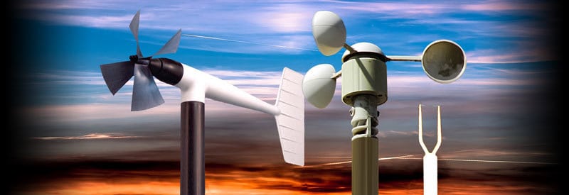
Anemometers – What They Are, The Different Types, And How They Work Anemometers – What They Are, The Different Types, And How They Work Most meteorological instruments work hand in hand with each other to determine current and predict future atmospheric conditions....