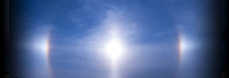
by Wessel Wessels | Nov 15, 2020 | General
Defining A Sundog Or Parhelion And How It Occurs Defining A Sundog Or Parhelion And How It Occurs On rare occasions, while looking at the horizon during sunset or sunrise, one may observe what seems like “multiple suns” spaced parallel to each other. We take a closer...
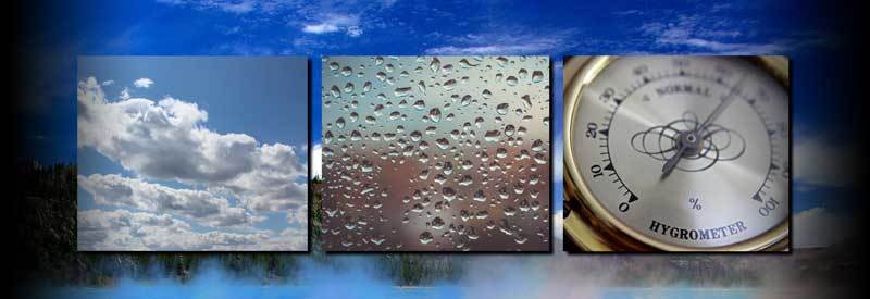
by Wessel Wessels | Nov 9, 2020 | General
Humidity – What It Is, How It Forms, and How It Behaves Humidity – What It Is, How It Forms, and How It Behaves Meteorologists and weather enthusiasts are well aware of the critical role humidity plays in the creation of different meteorological events. But what is...
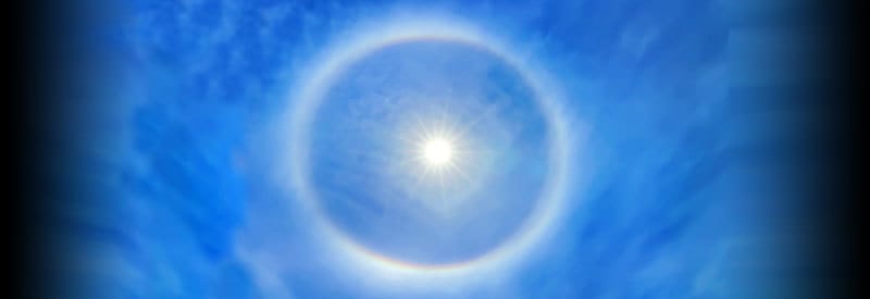
by Wessel Wessels | Nov 7, 2020 | General
Solar Halos – Defining The "Rings" Around The Sun Solar Halos – Defining The "Rings" Around The Sun Occasionally, when looking up at the sky, you may notice a hazy rainbow-coloured ring around the sun. This phenomenon is better known as a solar or 22-degree halo, but...
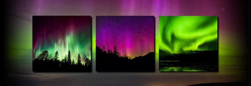
by Wessel Wessels | Nov 1, 2020 | General
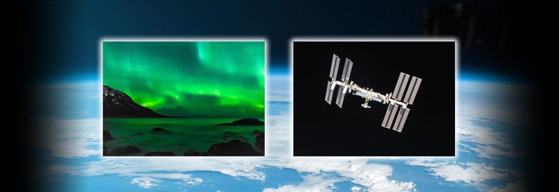
The Aurora Borealis – What The Northern Lights Are, And How They Develop The Aurora Borealis – What The Northern Lights Are, And How They Develop Most of us have never observed the Northern Lights in person, but many will have seen images of this spectacular event....
by Wessel Wessels | Oct 25, 2020 | General
The Thermosphere: Defining The Characteristics Of Earth’s Fourth Atmospheric Layer The Thermosphere: Defining The Characteristics Of Earth’s Fourth Atmospheric Layer It may be one of the outermost layers of the Earth’s atmosphere, but the importance of the...